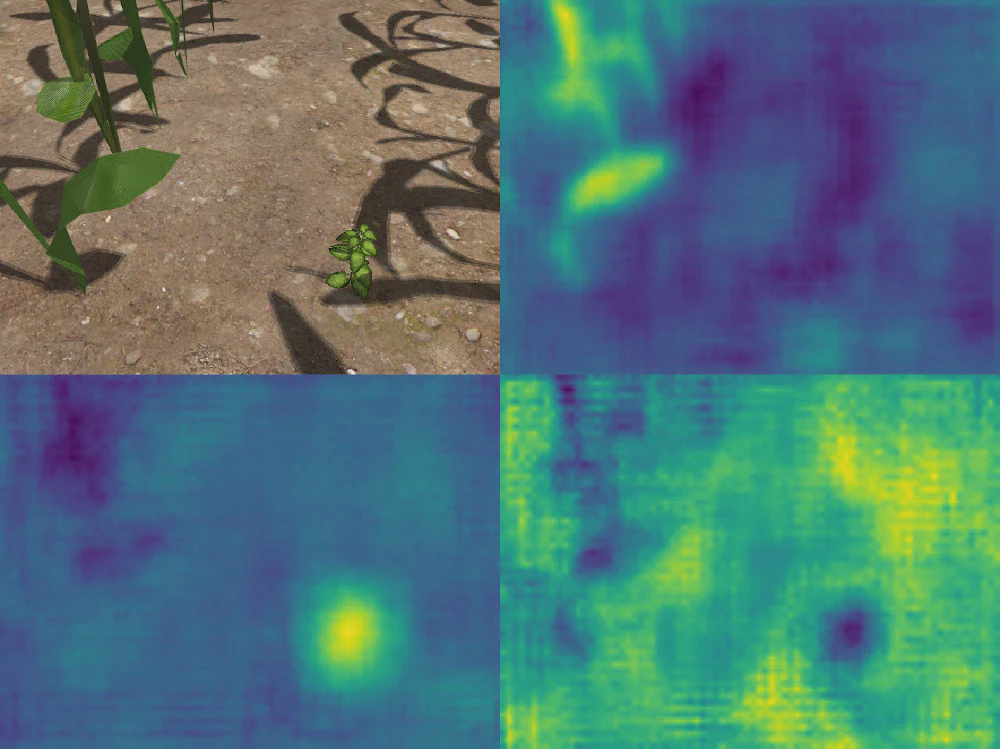
Publishing our Object Detection Network and Dataset
FRE 2021 is over! It’s been a great week seeing all of the other teams again and competing with one another. We are grateful for the opportunity we had in building the competition environment and shaping this year’s Field Robot Event!
We were especially pleased with the organizers’ decision to include realistic 3D plant models for the weed detection task. For a long time, simple color-based detectors were sufficient to solve the detection tasks at the Field Robot Event. However, such approaches are not adequate to perform a plant recognition task in a realistic scenario. On the real field, robots will have to distinguish between multiple species of plants — all of which are green — in order to perform weeding, phenotyping and other tasks. Deep learning has been around for a few years now and seems to be the most applicable tool to tackle this challenge.
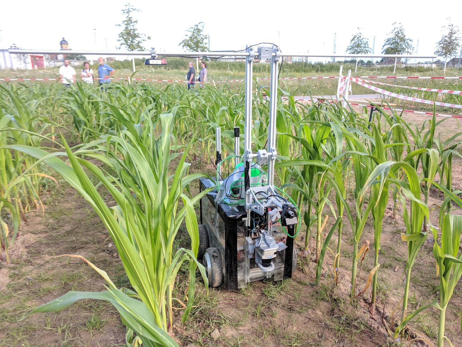
Field Robot Event 2019
Kamaro participated in the 2019 Field Robot Event and came out in fourth place in the overall ranking, as well as second in the third task (weed detection). This year’s robot was the newly constructed model Dschubba, which utilizes hoverboard wheels and uses a differential steering. Below is a video of our freestyle task, demonstrating deep-learning based selective fertilizing on a mixed-culture field.
Einführung für neue Mitglieder / Introduction for new members
Wir möchten alle Interessierten herzlich zu unseren Einführungsabend am 02.11.2017 um 19:30 Uhr im Gebäude 70.04 am Campus Ost einladen. Hier werden wir Euch nochmal kurz unsere Hochschulgruppe mit den einzelnen Teams und Aufgabenbereichen vorstellen. Im Anschluss wollen wir auch direkt mit dem Einstiegsprojekt starten.
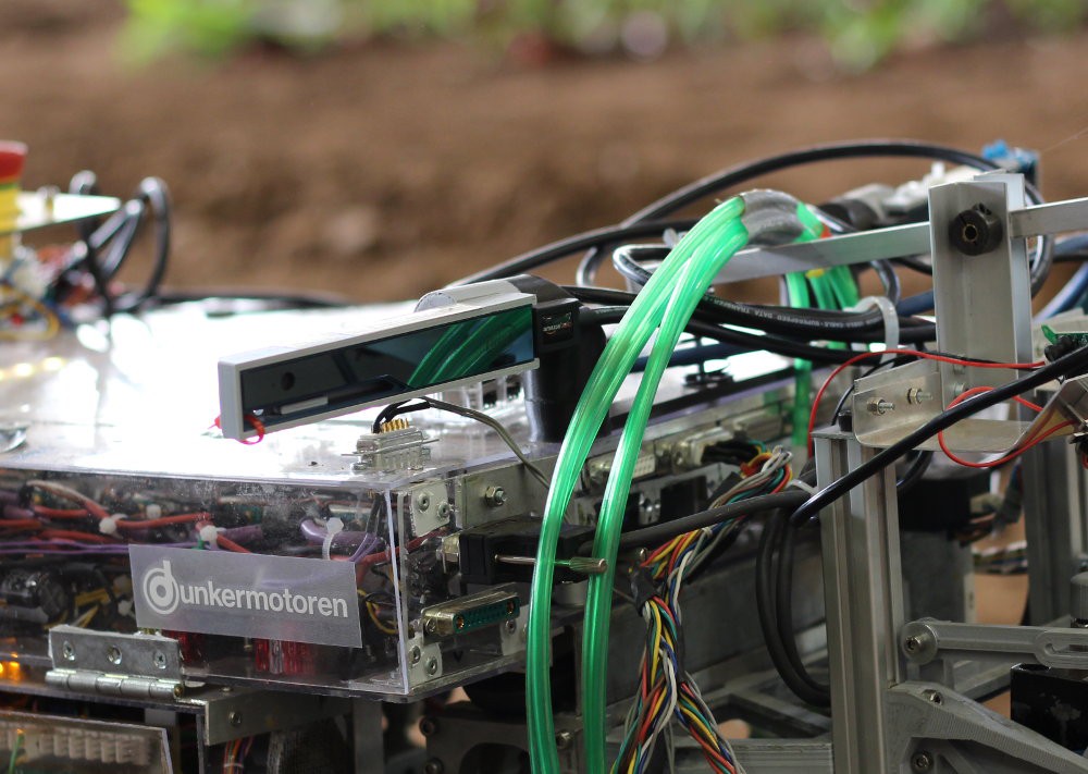
NDVI Mapping with the RealSense R200
A typical task in modern farming is the measurement of the state of plants. The Normalised Difference Vegetation Index is an index commonly used to determine plant health. It is defined as following: (NIR-Red) / (NIR+Red) Healthy plants have a NDVI value near one, vegetation free areas have a value near or below 0. The RealSense R200 is the first affordable, outdoor usable 3d camera. It has two NIR sensors for disparity calculation and one RGB sensor.
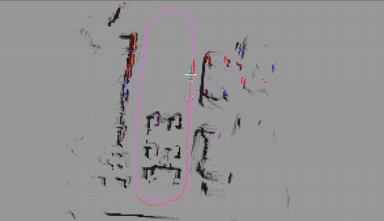
Precise localisation with loop closures using graph SLAM
The graph SLAM (Simultaneous Localisation And Mapping) algorithm plays a key role in our attempts to navigate autonomously in complex environments.
Take an in-depth look at how it works.
Why graph SLAM is important? How does it roughly work? What are loop closures and why you need them? That and more is answered here with open source code.